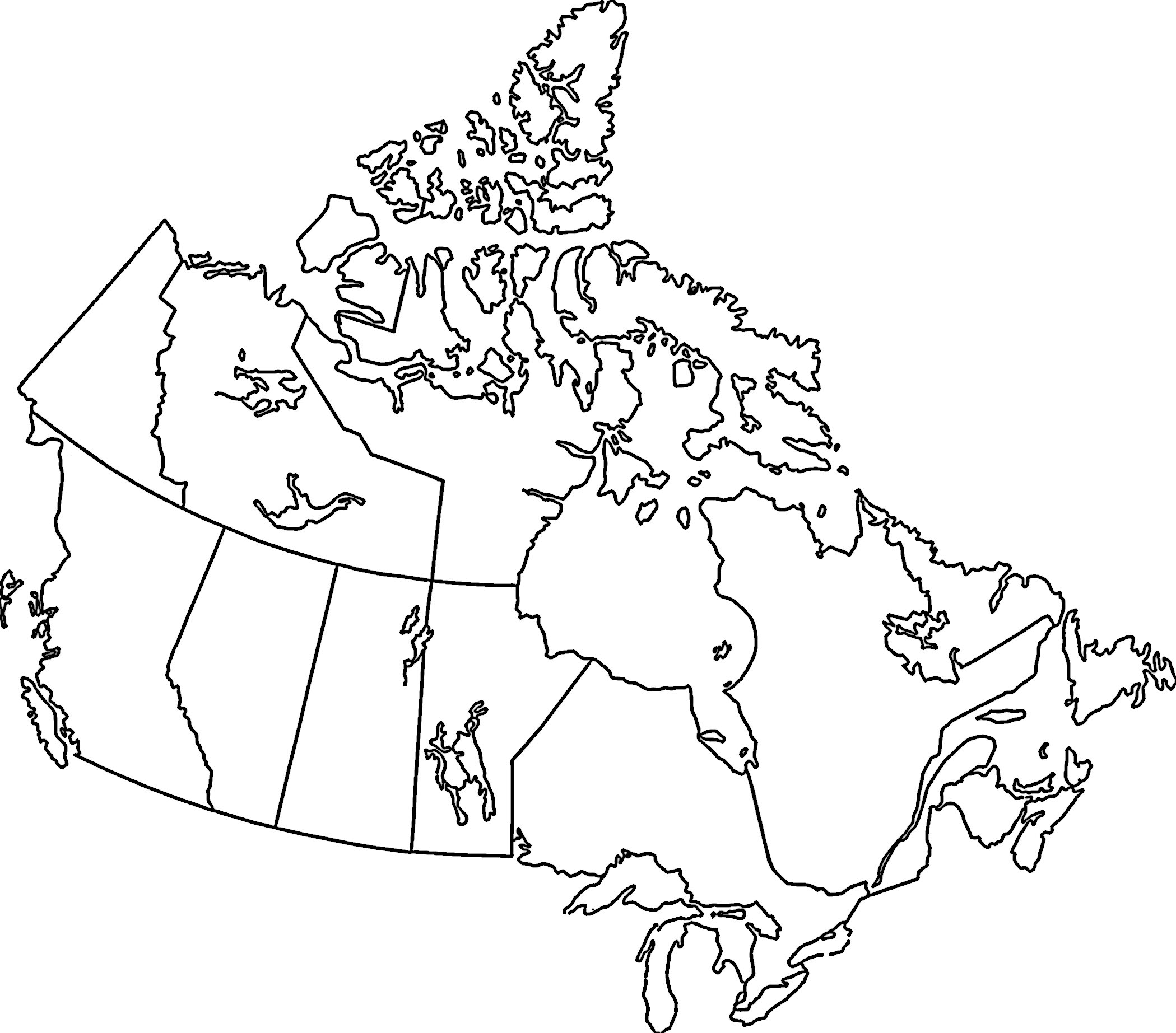
Landform Connections
|
| ||
The Canadian Shield
- geographic foundation of Canada
- relatively flat with rounded hills (that used to be mountains)
- mostly made up of igneous and metamorphic rock
- store house of Canada's metallic minerals (lead, nickel, copper, ziinc, gold)
- Mining and tourism are 2 major money makers from the Shield
- farming doesn't work due to the thin soil
- Glaciers played a large role in the creation of the Shield
- affected drainage
- gouged the bedrock, which eventually became lakes and rivers
- affected the shape of the Shield, due to blockages in the rivers/lakes causing the water to flow in various directions
- excellent source of water-generated energy
The Lowlands
- Made up of 3 different areas: Interior Planes, Great Lakes / St. Lawrence Lowlands, and The Hudson Bay / Arctic Lowlands
- The bedrock under the lowlands is made up of mostly sediments eroded from the Shield
- Weight of the upper layers compressed the lower layers into sedimentary rock
- Interior Planes:
- Part of the Great Plains of North America
- Located from the 49th parallel north to the Arctic Ocean
- Mostly made up of sedimentary rock, from sediments deposited from the Rockies and the Shield
- Sedimentary rock deposited in these areas consist of coral reefs from the Paleozoic era, which is where much of the oil and gas in Alberta and Saskatchewan come from
- Mineral deposits lie below the surface of the interior planes (was a sea, which dried up leaving mineral deposits that are now deep underground)
- Like with the shield, erosion has played a part in forming the interior planes
- Sedimentary rock can be very hard or quite soft, which changes how quickly and much the rock can erode (differential erosion)
- This differential erosion produced 3 different levels of elevation on the prairies, which are separated by a sharp rise called an escarpment (formed when harder rock layer that overlays a softer layer resists erosion)
- Glaciation
- Glaciers left deposits that produced a rounded, gently rolling landscape
- Glacier melt off became a massive lake over what is now Manitoba and Saskatchewan
- Over time the land rose, causing most of the water to drain off into the ocean, which left small portions of the ancient lakes (Lake Winnipeg, Lake Manitoba, Lake Winnipegosis, and Cedar Lake)
- The southern end of the Interior Plains is known as the breadbasket because so much wheat is grown there
- Great Lakes – St. Lawrence Lowlands
- Located south of the Canadian Shield and consists of 2 parts
- Separated by a thin wedge of the Canadian Shield that juts across the St. Lawrence River
- Bedrock is formed of sedimentary rock from the Paleozoic era
- Glaciation in Great Lakes Lowlands
- Movement of glaciers created a rolling landscape
- Glaciers carried huge amounts of material (soil, sand, gravel) from the Canadian Shield and dumped them throughout the region
- The Great Lakes are located in basins that were gouged out by glaciers (which used to be much larger than they are today)
- The lakes eventually shrank to their present size as the meltwater drained into the ocean
- The St. Lawrence lowland was formed when a rift valley was created by double faulting
- The rift valley was flooded by the end of the ice age
- These lowlands are well-suited to agriculture because of its excellent soils and warm climate, and also well suited to transportation and city development because of the flat land
- These factors lead to it being the most densely populated region in Canada
- Because of this, the Great Lakes – St. Lawrence lowlands are called “Canada’s industrial and urban heartland”
- Located south of the Canadian Shield and consists of 2 parts
- Hudson Bay – Arctic Lowlands
- Hudson Bay Lowlands are located around the southwestern shore of Hudson Bay and James Bay is a low area covered by swampy forest (used to be covered by Hudson Bay at the end of the last Ice Age)
- These lowlands have a layer of sedimentary rock resting on top of the ancient rock of the Shield
- Arctic Lowlands are made up of a series of islands located in Canada’s far north, that have gently rolling landscapes
- No farming, due to the harsh climate (ground remains frozen most of the year)
- Mining is possible due to the Paleozoic sedimentary rock housing lignite (a form of coal), oil, and natural gas deposits
- Hudson Bay Lowlands are located around the southwestern shore of Hudson Bay and James Bay is a low area covered by swampy forest (used to be covered by Hudson Bay at the end of the last Ice Age)
The Highlands
- Made up of 3 different areas: the Appalachians, the Innuitians, and the Western Cordillera
